Ordnance Survey announces new project with Natural England to protect peatlands at Thorne and Hatfield Moors
and live on Freeview channel 276
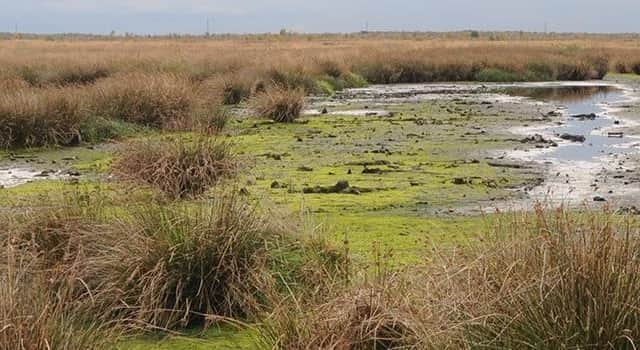
The project will support the development of an accurate and detailed peat map of Thorne and Hatfield Moors, which can be used to monitor peatland health and help inform and target future restoration activity on the site.
OS’s technical experts have been using geospatial data and Earth observation (EO) data to analyse the current condition of peatland. This baselining technique could be rolled out nationwide to facilitate access to investment for large-scale peatland restoration projects from carbon markets.
Advertisement
Hide AdAdvertisement
Hide AdUsing OS data, experts will accurately record different types of vegetation species, provide reporting on vegetation cover and health, monitor greenhouse gas emission types and establish the water table.

The data will be presented via the OS VeriEarth platform, supported by a dashboard which will enable Natural England to assess site condition and monitor changes across a large site area with a high degree of accuracy.
This enables a detailed carbon baseline to be established and accurately monitored which, could enable effective verification for a highly sophisticated approach for carbon accounting.
The project team want to demonstrate how this technology can be used to support a highly accurate assessment of the beneficial impact of peatland restoration on carbon emissions across a large site, and to assess the potential for validation of restoration work under the Peatland Code.
Advertisement
Hide AdAdvertisement
Hide AdThe aim is both to meet the verification and monitoring requirements of the Code and to satisfy those carbon investors who are seeking the highest standards of project assurance.
Peatlands are the largest natural carbon store on land, storing more carbon than is currently in the global atmosphere and have a net cooling effect on climate change.
Natural England aims to prevent further loss of peatland habitats, re-wetting peatland areas and returning them to their natural state which could make a significant contribution to achieving targets on reducing carbon emissions and reaching Net Zero by 2050, as well as improving water quality, reduce flood risk and support biodiversity.
Donna Lyndsay, Sustainability Lead, Ordnance Survey said: “We need to protect our peatlands so they are healthy and rich in wildlife. Using geospatial data and our technical expertise we can provide valuable insights and evidence to ensure we are preserving carbon sinks and optimising site management.
Advertisement
Hide AdAdvertisement
Hide Ad“This type of project highlights the need for viable solutions to combat the risks of climate change and demonstrate how accurate geospatial data can provide credibility in nature-based restoration for investment, ensuring that organisations and landowners are effectively preserving and restoring our peatlands.”
Neil Pike, Manager in Natural England’s Yorkshire and Northern Lincolnshire team said; “Monitoring a site like Hatfield Moor presents some unique challenges, owing to its very large area and inaccessibility of parts of the site during wetter periods.
"The model has the potential to provide a means for Natural England to transform how we monitor site condition and we are interested in testing how the outputs from this model can enable us to target our restoration activities on Hatfield Moor for maximum benefit.”